Extreme Geography Virginia has the elevation extremes
High elevation
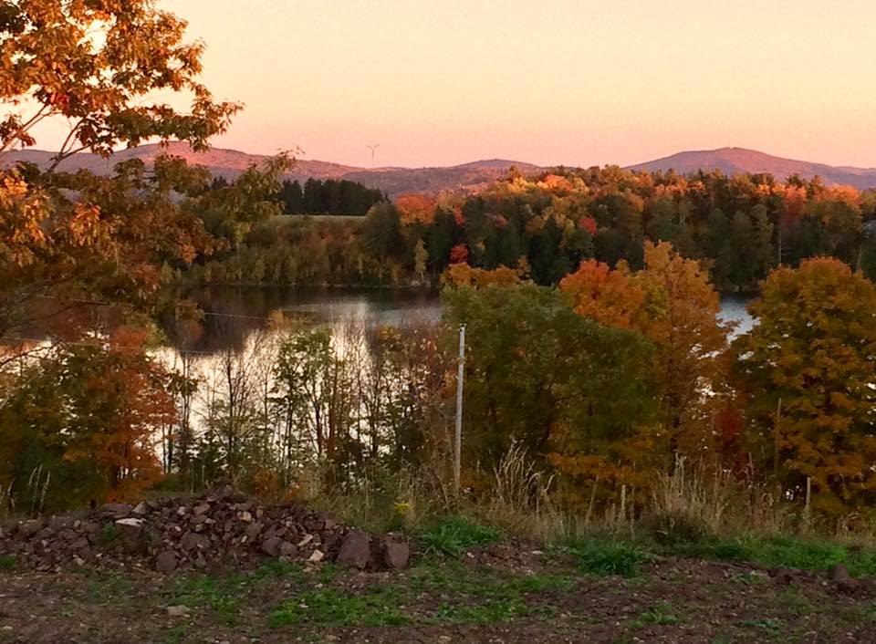
Mount Rogers 
The highest elevation in Virginia is Mount Rogers
Coordinates
36°39’35.3″N 81°32’40.4″W
36.659817, -81.544552
Location
Mount Rogers National Recreation Area in Smyth County Virginia.
Access
There are dozens of potential hiking routes, depending on your starting point and expectations. The possibilities are too many to list here. Many hikers start at Grayson Highlands State Park. Use your favorite hiking apps and map resources to carefully plan your route. Expect a minimum of 9 miles with and elevation gain of 1500 feet.
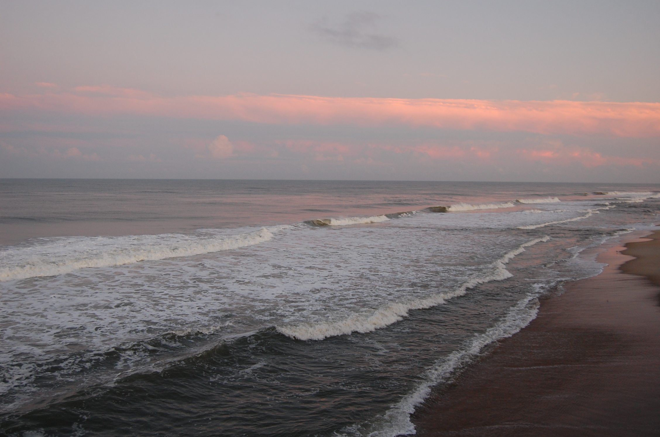
Lowest elevation
Sea level
The lowest elevation is sea level
Location and Access
You have many choices! Anywhere along the Atlantic Ocean or the Chesapeake Bay!
© 2023 by Extreme Geography LLC. All rights reserved. Trademark pending for “Extreme Geography”